Under the Weather: Ground-based Doppler Radar
Relax with a down-to-Earth remote sensing blog!
Since its early workings in the late 19th century, radar of varying kinds has become a cornerstone technology of modern society. Its ubiquity is evident in the adoption of its acronym, previously written RADAR (radio detection and ranging), into everyday English.
One of many sciences most significantly advanced by military R&D – used near exclusively by armed forces in its earliest days – ground-based radar now forms the backbone of the world’s weather observation and forecasting capability. So, what’s the low-down on this low-down (sorry) form of remote sensing?
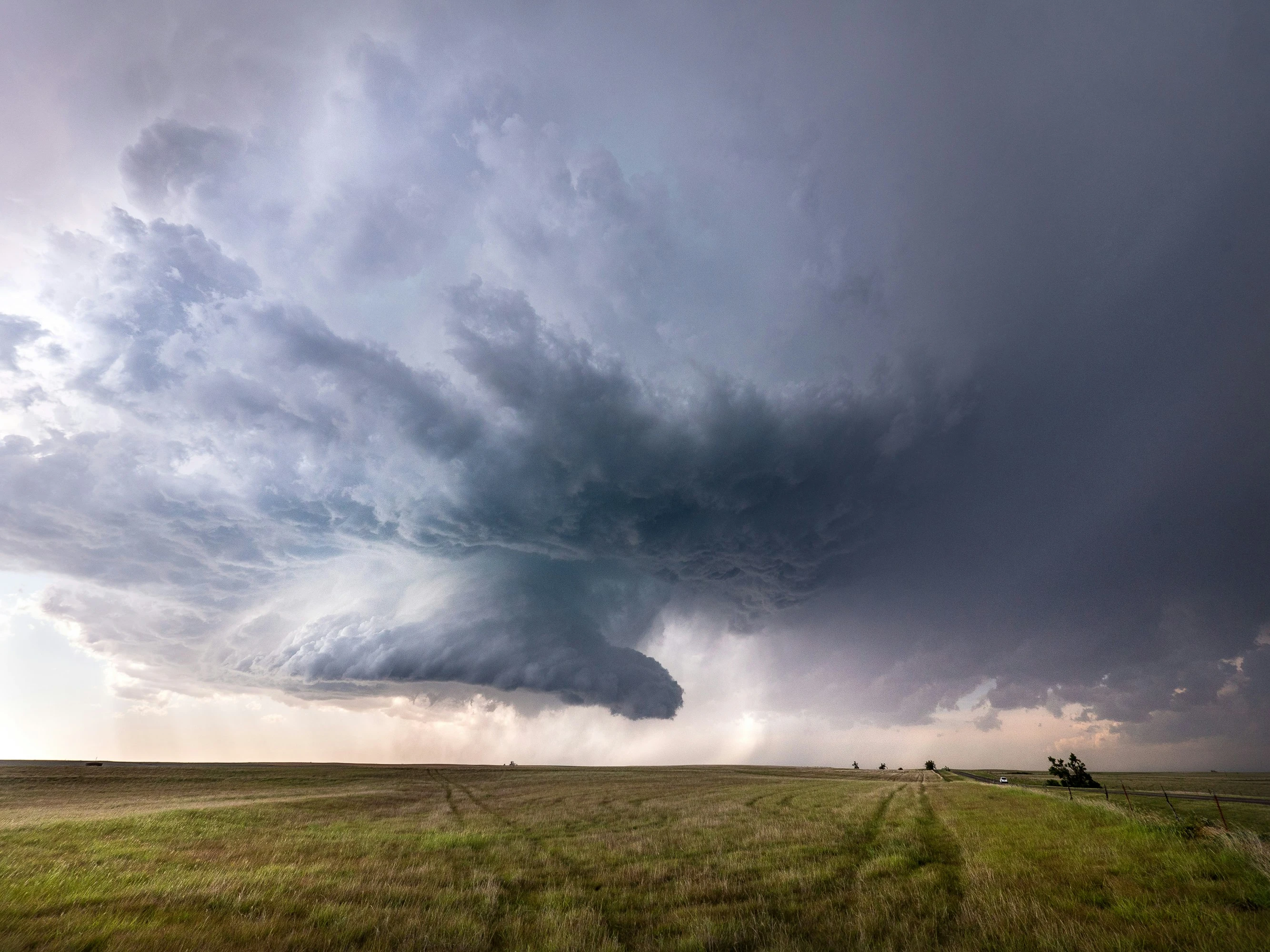
What?
As you probably know by now, the data we speak of here is collected by ground-based doppler radar stations. These aren’t visible as the large radar dishes you’ve probably seen at some point, nor the small ones mounted to buildings for satellite TV, but geodesic or spherical domes often elevated by a scaffold-like structure. Said domes, known as radomes (radar + dome – clever, right?), serve the key purposes of weatherproofing, equipment concealment, and bystander protection. They don’t have anything to do with the transmitted or received signal – they’re completely radio wave transparent.

Doppler radar data is collected by the networks of atmospheric agencies world-round. Unsurprisingly, one of the largest of these is that of the United States, mostly comprising the 160-strong National Weather Service (NWS) operated NEXRAD network of high-resolution stations. Most of these are found in the states, though others exist in the unincorporated territories of Puerto Rico and Guam. NEXRAD is complimented by the considerably smaller TWDR network of the Federal Aviation Administration (FAA). By virtue of the comparatively modest size of the British Isles, the Met Office’s network comprises just 15 stations from Stornoway to the Channel Islands. Fortunately, this means that coverage is better relative to the US and that the average location can expect higher-quality data otherwise degrading with distance from a station. Other countries with notable networks include Australia, China, and France.
How?
Boiling it down, radar operates in much the same way as the similarly named sonar (sound navigation and ranging). Rather than sound waves, short pulses of radio waves are emitted from an aerial and returned, in varying quantities, by a suitably reflective target. The amount reflected by a target varies with orientation relative to the station and the shape, size, and material said target comprises. Before emitting further bursts of energy, the station listens for a designated period to allow for maximum return. Received data is then corrected for ground noise, terrain and elevation, and rain and atmospheric attenuation before conversion to useful datasets.
As briefly mentioned, gaps in coverage, while not ideal, do exist. Countries with little to no coverage gaps are usually blessed with relatively flat land (less terrain to block emitted energy) and/or less territory to cover (radars have finite range). The US is afflicted with both large area and often rough terrain, while Australia’s vast size and sparse population doesn’t justify total coverage, especially in light of the cost to do so.
, and the UK. Sources: NOAA, BOM/Wikipedia, Met Office.") Maps of doppler weather radar coverage in the US, Australia (theoretical range), and the UK. Sources: NOAA, BOM/Wikipedia, Met Office.
Maps of doppler weather radar coverage in the US, Australia (theoretical range), and the UK. Sources: NOAA, BOM/Wikipedia, Met Office.
Why?
Like navigation software, doppler radar data is one of those geospatial products pervasive in modern life, used from Formula 1 to air traffic control. Considering the obvious rainfall radar maps shown on the news and your favourite weather app (let’s be honest, we all have one we swear by), the data have a great many uses. Not only does the near-real-time capability of data collection enable us to observe adverse weather as and when it happens, the same information is fed to complex supercomputer-hosted models as one of many inputs to forecasting. Other useful variables wholly or, after fusion with data from other sensors, partially derived from doppler data include:
- Precipitation type and totals
- Flood prediction and modelling
- Wind velocity, shear, and rotation, often associated with tornadic events
- Hail severity, size, and probability
 showing the tracks of two tornadoes around Houston, Texas in January 2023.") Radar-derived azimuthal shear (rotation) showing the tracks of two tornadoes around Houston, Texas in January 2023.
Radar-derived azimuthal shear (rotation) showing the tracks of two tornadoes around Houston, Texas in January 2023.
What next?
Thought of a way your business or products might benefit from doppler weather radar data or just want to find out more? At GeoTech, we can help you make sense and better use of both your data and the wide range of data sources available. Please get in touch with us or reach out on LinkedIn.